
Hiking in the Sauerland
This page in English click HERE!
Softly vibrating mountains and valleys, deep forests, lush meadows and romantic half-timbered villages in between – this is how the Sauerland landscape can be described in a few words. It offers countless opportunities for hikers, Nordic walkers, walkers and fresh air fanatics.
One Variety of certified quality hiking trails the well-known Redhead's trail make the Sauerland one of Germany's most popular hiking regions - here you can experience Hiking holiday at its finest!
Here you can find personal hiking route Also put together by yourself: TOURENPORTAL SAEUERLAND
Sauerland Hiking Villages
Brilon, Diemelsee, Medebach, Lennestadt, Kirchhundem, Olsberg, Schmallenberg, Eslohe, Willingen, Winterberg and Hallenberg.
In the midst of the first certified quality region "Wanderbares Deutschland" there is a network of beautiful and well-marked hiking trails in beautiful nature, where you can discover and enjoy the original typical sourland villages and their surroundings.
More information and tour portal see HERE

Sauerland - altitude flight
The Sauerland altitude flight runs from Altena or Meinerzhagen to the Hessian Korbach across the hiking region Sauerland and mostly along the Sauerland ridge, where a part of the name High altitude flight ==References== Description: The 250km long long long hiking trail can also be experienced in parts – even for shorter walks. Nature lovers can look forward to fascinating nature experiences in deep forests, high moors on the slopes of the low-lying mountains or the extensive pastures of the upland, the high heath, the kahlen aste or in the magnificent European bird sanctuary Medebacher Bight. The Sauerland-Höhenflug offers much more than fascinating landscapes and wonderful natural idylls. In the villages on the Sauerland-Höhenflug, cultural and industrial history lives today as well as the traditional peasant activity. Museums invite you to visit, to get to know the history, industry and crafts of the region. The most important feature of the Sauerland high flight is its many incomparable views; the heights around Altena, the Hunau or the Kahlen Pön near Düdinghausen, Schombergturm on the Wilder Wiese, Kahler Asten or the Georg-Viktor-Sichtsturm near Korbach, all offer the hikers magnificent panoramic views! Those who let their eyes and senses wander over mountains & valleys, the idyllic villages, forests, meadows, streams, rivers and lakes – this becomes aware of: Only flying is more beautiful! Route: Altena - Neuenrade - Altenaffeln - Wildewiese - Wenholthausen - Bad Fredeburg - Altastenberg - Hallenberg - Medelon - Küstenlberg - Düdinghausen - Korbach www.sauerland-hoehenflug.deShow more
Redhair Trail - the way of the senses
With its special natural proximity, the gently curved lines, the clear waters and the wealth of views, the 154km long Redhair Trail has become No.1 Hiking route in Germany No hiking trail records more visitors every year. It runs from Brilon via Winterberg, Bad Berleburg to Dillenburg.
The dimensions of the New Hiking offer more than just pure nature. So there are numerous Experience stations The 40-metre long suspension bridge over a valley section at Kühhude and the 17.5 km section as "The trail is particularly popular.ForestSculpture pathThe town is located between Bad Berleburg and Schmallenberg.Also characteristic is the continuous design line and thus the special appearance of the original red-haired timber furniture such as resting benches, forest chairs, forest sofas, forest swing shelters and the Vesper Islands. Description: This well-known top hiking trail leads north-south across the ridge of the Rothaargebirge. It starts in Brilon, runs over the highest mountain in NRW – Langenberg (843m) – to Hochheide and Ruhquelle, then after Winterberg to Kahlen Asten (842m). In the spring area of the Lenne, the Rothaarsteig bends westwards, crosses the Waldsculpturenweg near Schmallenberg and as the next stage station picks up the Rhein-Weser-Turm. From there it goes south through the Rothaarvorhöhen in Hilchenbacher Winkel and further to the source area of Lahn, Sieg and Eder above Netphen. Over the Haincher Höhe, the Rothaarsteig finally heads for Dillenburg. In the Willingen region, a particularly beautiful section of the Rothaarsteig from Brilon leads through the Bruchhausen-Steine and Langenberg (highest mountain in the Sauerland and North Rhine-Westphalia) through the New Hagen, Germany past the summit Clemensberg. This section shares the Rothaarsteig with the Uplandsteig. www.rothaarsteig.de
Show more
Kahler Asten-Steig - Dream tour in the Sauerland
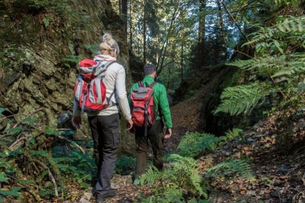
Who committed it usually says that the bald Asten-Steig the most beautiful day hiking tour in Sauerland is. It is a premium hiking trail - and beyond Dream Tour 2017 certified by the German Hiking Association.
Start and finish point of the 16 km long medium-sized circular trailit is the park of Westfeld, one of the nine federal gold villages in Schmallenberg's Sauerland. First, we take a narrow path uphill to the Grillplatz and then continue along the valley hiking trail to Ohlenbach. Now the trail leads into the valley of Schwarzen-Siep, a nature reserve with the new climbing bridge that spans a small biotope. Then it goes slightly uphill through a Kyrill area and over a Pirschpath to the hunting lodges.
An old hollow path leads us now steeply up the mountain through a small gorge, past a small quarry, to the peak of the hike, the Asten Plateau with high heat and fantastic views into the land of the 1000 mountains. The Astenhaus offers itself for a stop before it goes downhill again past the Lennequelle into the young Lennetal.
Half way up, the path branches off behind the fish ponds towards Hoher Bone. Through high spruce and beech forests, it goes towards the bone tip. Arriving at the top, we again have a wonderful view over the expanses of Schmallenberg Sauerland.
From here, you will pass a narrow path and a forest path downhill to the Hotel Hoher Knechen with St. Elisbeth Chapel and Kneipp Basin further back towards Westfeld, where you will pass a narrow root path, past the cross-country skiing centre back to the Westfelder Park, where you can end a dreamlike hiking day.
The Astensteig is a challenging hiking trail and with its 570 altitude meters demands quite condition. Lowest point is 493m, highest point is at 841m. Pure walking time approx. 5-6 hours.
Hiking map with altitude profile for download as Pdf
Show more
Ehmsenweg from Arnsberg to Olpe
The Ehmsenweg runs from Ruhrtal to BiggeseeThe name of the hiking trail is dedicated to Ernst Ehmsen (1833-93), a forestry councillor who founded the Sauerländer Mountain Association. Description: The hike starts at the old market in Arnsberg. Now it goes past the Probsteikirche in the forest above the Ruhrschleife, where the Sauerland Mountain Association built a monument in 1897 in honour of its founder. Here you have a great view of Arnsberg. Afterwards, through the Arnsberger Stadtwald into the forests of Sunderner to the old Kapuziner-Kloster fountain, then to the Frettertal and along the Saalhäuser Bergen in the Karl May festival location Elspe. Behind Elspe the hike reaches the Lenne, the longest river in the Sauerland. After its crossing, the hiking trail leads to the observation tower Hohe Bracht (588m). Now it goes southwards until just before the Rahrbacher Höhe and to the finale the Ehmsenweg bends west and ends at Lake Bigge in Olpe. Info EhmsenwegShow more
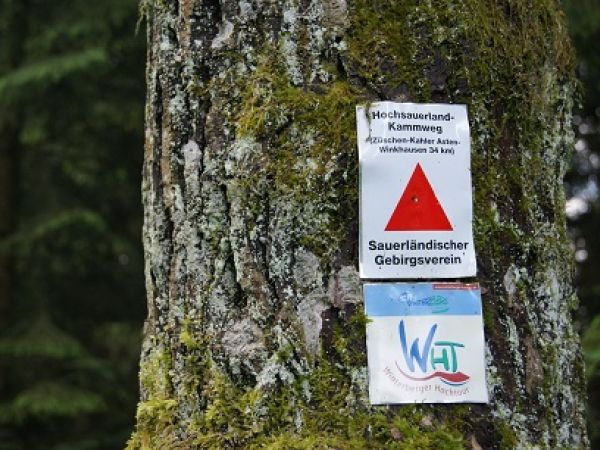
Hochsauerland-Kammweg from Züschen to Winkhausen
With only 34km is the ridge path a nice hiking trail for a weekend trip. Once there is a forest-rich over the high ridge of the Sauerland past the Kahlen Asten with Lennequelle and Hochheide. Description: From Züschen we first go up through the Züschen Forest to the goat's hedge (816m), where the ridge path meets the "Sauerland Höhenflug" (Sauerland high flight). The intensive climb is rewarded with a beautiful view. Now, without any major climbs, we head north-west in a quiet nature through the forests on the Redhair ridge past Mollseifen, behind which the ascent to the "King of Sauerland's Mountains", the Kahlen Asten begins - the highlight of the tour with magnificent views on the Astenturm. Over the heath landscape of the Kahlen Asten and the Lenne spring, we now have a beautiful view to Altastenberg. Now we head north to the Große Bildchen, a pass at 708m – and then west to Rolandshütte. Finally, as a long forest hike, the ridge path gradually runs down the valley via Waldemei (724m), Schellhorn (660m) and Weißes Kreuz (500m), until it ends in the Schmallenberg district of Winkhausen. Info Hochsauerland-KammwegShow more
Kneipp hiking trail Olsberg
Already the name of the certified hiking trail points to a special topic: Here the hiking friend meets the teaching of Father Kneipp, and can reconcile his water therapy with hiking through natural water treads along the hiking trail. Hiking, water, well-being What's closer than the renowned Kneipp spa town Olsberg writes such a theme trail on the flag. Also this 39km long "Quality Trail Hiking Germany" around Olsberg is well suited for an extended weekend. You can cool down in the six pedal pools along the path hot running soles and let your soul dangle. The Kneipp Therapy is based on 5 health pillars: water applications, exercise, relaxation, nutrition and medicinal herbs. The criteria water application and exercise are fulfilled by the Kneipp Wanderweg and thus it brings your health in momentum. Of course, the right pinching also includes stork passage and arm cast. Those who want to do it properly, therefore also has watering can and drinking cup in the backpack. So packed it goes now to the idyllicly located pedal posts in the forest. Directions: From the spa park, you will be well signposted and marked over the district of Gierskopp to the 1st step, at the Scharfsbrücke Gierskopp. The next step at Papendiek is reached after a steep climb behind the Red Bridge. Now you go to Eisenberg, where at Maxstollen information boards explain the mining history of Olsberg. Now it goes up to the highest mountain in NRW, the Langenberg (843m). Here the Kneippweg meets the Rothaarsteig, Uplandsteig, the Winterberg Hochtour and the forest route. Afterwards we go downhill to Schloss Schellenstein and to the district Gevelinghausen with another castle and an old mill worth seeing.. Along the Elpe we go for a refreshment to the Elpe-Tretstelle, then continue via Wiggeringhausen up to Ohlenkopf. After a long tour you will reach the foothills at Vossbach, from where the Kneippweg is gradually heading for Olsberg again to the next steppost along the Ruhr to Hasley Hut. A last ascent leads over the cliff path to the summit of Olsberg with magnificent views. As the finale the descent back to the center of Olsberg, where one last Kneipp pool refreshes your feet and body. Info Kneipp hiking trail OlsbergShow more

Briloner Kammweg
The Briloner Kammweg It takes you 49 km around the Hoppecketal from Brilon to Willingen and back. It is a multi-certified quality hiking trail.
The mountains south of Brilon stimulate the imagination. Broom headswhere gnarled trees groan, high grass inclines in the wind, wild lupins and finger hats show an unreal-beautiful play of colors, as one also likes to believe in mystics and supernatural. The beginning of both the Briloner Kammweg and the Redhair Trail is the Marketplace the city of Brilon with its beautiful Half-timbered houses in the Westphalian slate style, which forms the framework for the first kilometers away from town.
Then you will pass through the spa park and the Möhne spring. You will experience the deep spruce and beech forests as well as fantastic views into the expanse of the Sauerland, such as on the Borberg with its early medieval forests. RingwallThe ruins of the former church and the chapel on the edge of the plateau. From the Borbergkapelle you can enjoy a beautiful view down to the Ruhr valley and Olsberg.
A detour leads to the Broken Houses Stones, four mighty porphyry rocks, on whose highest - the Feldstein - a 40-h Via Ferrata leads with breathtaking views. Further highlights of the tour are the Ginsterkopfen and Hohe Eimberg.
Hint: The official path leads past the quarry stones and only roams down the information center of the stones with cash register, where an entrance for the stones is to be paid. Who wants to go up to the stones, can then shorten up through the forest via Istenberg and Hörnberg and meets shortly before the toll spot again on the original ridge path. This route is however nowhere listed in the official hiking routes - See HERE for route.
The ridge path can be hiked in 2-3 stages. If you have good condition, the nicer half will walk over Borberg and Bruchhäuser Steine as a day tour to Willingen and return by train.
Show more
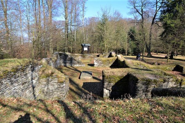
Circular walk from the Kurpark-Brilon to Borberg
A beautiful hike in the neighboring village of Brilon leads along the Briloner natural jewels; It runs partly on the Redhead's trail and Briloner Kammweg. The 13,5km long tour begins and ends in the spa park. For those who are too long, choose the 9km Short version from Kyrilltor in the district of Petersborn; this saves about 4.5km. In the spa park we follow the Landscape therapeutic path (direction doesn't matter) 100m high to the Moisture sourceOn the way back we choose the other way, so that we have completely gone the landscape therapeutic path. From the Möhne spring we continue to the Cyrillic Gate in Petersborn. It is a huge gate to the hiking and cross-country skiing paradise on the Petersborn Plateau. From here the path leads 2.2 km straight through the village of Petersborn and always further. After an ascent at the end of the village behind Petersborn the forest path runs quite flat. One has to turn right once and about 700m later left again. Then you are on the finish path to the Borberg Chapel at about 602m above sea level. From up here you have a beautiful View of Olsberg and the Ruhrtal. A few meters further is the Borberg-Kirchhof. The Borberg terraces with their ring walls, ditches and hills attract the attention of the visitor. The oldest earth walls date from the time around Christ's birth when Germanic tribes came across the Celts. In the time of Charlemagne (8th/9th century) the fortifications were renewed as a wall castle. Remains of the north gate were uncovered. There was built a monastery church, from which there are just the foundations. Remains of an early medieval cemetery were also discovered. After the archaeological visit we go down to the Kyrylltor on the other side again slightly. On the way we arrive at the old church. Mountain hut past (Opening hours Click HERE). It shall be considered as: one of the most beautiful huts in Sauerland. Through the beer garden a small stream, over which several piers lead. The food offer is typical cottage rustic and spartan. After the stop it is still about 1,5km to the Cyrillic Gate. Now it goes on the same route as again to the Möhne spring and then the other part of the landscape therapeutic path down into the spa park, where a beautiful hiking day ends. Route on Google Maps HERE Spa park BrilonAt Schönschede (Parking) 59929 Brilon Cyrillic Gate
Parking at the sports field 59929 Brilon-Petersborn
Show more
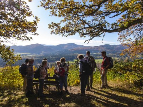
Medebacher Bergweg
The 66km long quality hiking trail "Medebacher Bergweg" connects the city of Medebach with its beautiful half-timbered parts. Description: The Medebach Bay is also called the "Tuscany of Sauerland". "The name of this region is due to its ancient beach, whose fossils can be seen in many places – especially at Düdinghausen and Tetmaringshausen. Narrow paths through dense forests wind to the cross paths and chapels decorated mountain heights, running along idyllic streams to the half-timbered villages around Medebach. Worth seeing The Schwerspatmuseum in Dreislar is on the way, which leads the senses through 4.6 billion years of earth history. Noise, images, colours and lights let the visitor immerse himself in the underworld of sparkling crystals. Probably the most strenuous stage leads from Meledon to Küstelberg, because almost 400 metres of altitude can be overcome here – and the strongest climb to the 781m high Rösberg peak is rewarded with a fantastic view of the Winterberg plateau. The tables on the Wegsterecke are also interesting about the history of the former Medebacher Kleinbahn and its double Spitzkehren – unique in railway history. Info Medebacher BergwegShow more
Sauerland forest route
Enchanting & mystical The 240km long long long long hiking trail "Sauerland-Waldroute" is the way from Iserlohn via Warstein to Marsberg and in a loop via Willingen and Olsberg again to Warstein. Here you can experience all nature, fauna and flora, moors, primeval forests and natural spectacles that the Sauerland has to offer. Gates to the Sauerland forest route There is at least one "Tor zur Waldroute" at all stages of the 15 municipalities involved. The paved areas are framed with a hornbeam hedge, where there is a gate, with modern seating and information board. We do not need a description of the hiking trail here, since it cannot be part of a holiday apartment. In each municipality you can visit worthwhile sections, which inform the local tourist information. Route history Iserlohn - Hemer - Balve - Sundern - Arnsberg - Möhnesee - Hirschberg - Warstein - Kallenhardt - Rüthen - Büren - Alme - Marsberg - Diemelsee - Brilon - Olsberg - Bestwig - Eversberg - Warstein
Show more
TrekkingPark Sauerland - outdoor Übernachten in der Natur!
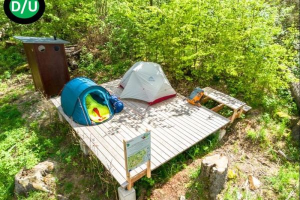
Trekking – i.e. the abandonment of fixed accommodation instead of Sleeping in the tent in nature is becoming more attractive as a hiking experience. Nature Park Diemelsee stand since 2021 nine trekking platforms Dogs are welcome. Right in the first season, the trekking park became a racer and was fully booked. All treking platforms are located in beautiful nature and are only on foot along the quality hiking trails. Diemelsteig and Upland Steig you are on your own, including food and equipment, which real trekking feeling All platforms are equipped with open spaces to attach the tents and a compost toilet. Each storage area offers great views and natural experiences. From beech and spruce forests to semi-open forest areas to views over wide high heathlands. Water springs, wide meadows and fields, wildlife observations, sunrises/downhills, starry sky... etc. To ensure that the local animal species receive enough rest and relaxation during the winter months, the trekking spots are only in the warm half of the year bookable from 1st, April to 15th November. A "wild" use of the trekking sites outside this season is not permitted. Free POINTS: In all cases, bus and the so-called call collection taxi (AST) are free of charge with the My card mobile. , which is included in the booking volume. It is also recommended to include Hiking map Willingen & Diemelsee in scale 1:25,000, in which all treks are marked. More information and booking on www.trekkingpark.de
Show more
Uplandsteig - a hiking dream
The Uplandsteig is measured at the Internet calls after the Rothaarsteig the second most popular hiking trail in Sauerland.
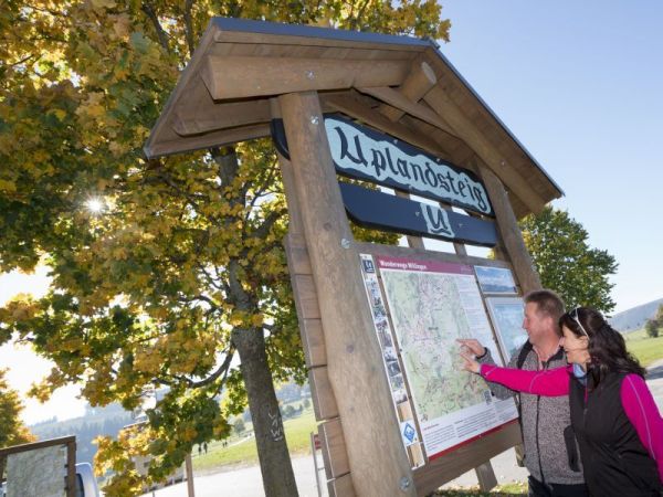
The Uplandsteig, a challenging 64 km long hiking trail, leads once around and through the municipality of Willingen (Upland), with 1,487 metres of altitude. The description of the Uplandsteig was divided into 5 km sections on the hiking map.The face of the landscape changes again and again, from mixed forest, beech forest, field corridor, flowering meadows, swamp landscapes and high heaths. The hiker awaits numerous beautiful views from the highest peaks of the Sauerland.
At times, the Uplandsteig shares its path with the Rothaarsteig, the Sauerland Höhenflug, Diemelsteig and the Briloner Kammweg.
More information: Upland Steig
Show more
Forest sculpture trail on Rothaarsteig
Nature meets art at the forestSculpturesWeg!
This theme walk is a remarkable speciality and is undoubtedly a Hike highlight in Sauerland.
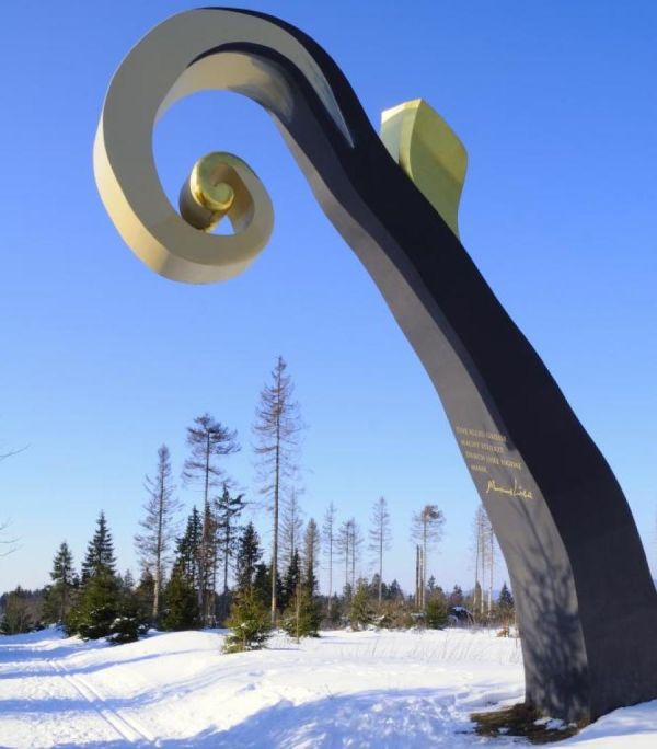
Description: What comes out of this when internationally renowned artists interpret the changing history between the Protestant-influenced Wittgenstein and the Kurdish Catholic-rooted Sauerland? Quite simply: eleven incomparable sculptures, sculptures and stagings on the forestSculpturesWeg, which polarize and stimulate discussion. Internationally known artists have created a unique art trail with their works of art at least in Germany. It is 23km long and runs along the Rothaarsteig access routes of the cities of Bad Berleburg and Schmallenberg, thus making the access routes an independent popular hiking trail. www.waldsculpturenweg.deShow more
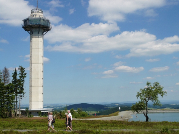
Hiking in Willingen & Nature Park Diemelsee
Hiking trails "par Excellence"! The region around Willingen is probably the most popular hiking region in SauerlandOn the highest heights of the Sauerland in Willinger Upland, a network of certified quality hiking trails spins like no other in Germany: Rothaarsteig, Uplandsteig, Diemelsteig, Kneippwanderweg Olsberg, Waldroute, Briloner Kammweg, Sauerland Höhenflug, Medebacher Bergweg, Winterberger Hochtour.
The reason for this is Germany's largest high heathen at Ettelsberg and Neuer Hagen. The most popular hiking trail in the Sauerland after Rothaarsteig is the Upland Steig - and the Diemelsteig leads as a high-altitude tour around the Diemelsee.
More information about the hiking region Willingen & Nature Park Diemelsee HERE
Show more
Winterberger Hochtour
The Winterberger Hochtour is together with the Uplandsteig in Willingen the most popular Hiking trail for holidaymakers Book a holiday apartment in one of the two most visited holiday resorts in the Sauerland and walk off the individual stages of the day. The 82km long Winterberger Hochtour is a certified quality hiking trail. It starts and ends at Kahlen Asten and connects the Winterberg districts with each other. The Winterberger Hochtour leads over the highest mountains of the Westphalian part of the Hochsauerland, crosses eight valley areas and offers numerous sights from nature & culture. 10 stages ==References== RoutesInfo Winterberger Hochtour Detailed information can be obtained from: Tourist-Information Winterberg and the Tourismusverband Sauerland e.V. Addresses and Homepagelink you will find HEREShow more
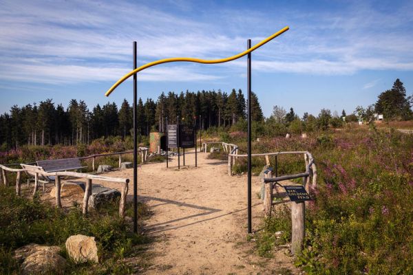
"The Golden Path" - Thematic Trail Hochheide Neuer Hagen
If you don't want to hike the big 15km-round from Ettelsberg to Neuer Hagen, this small tour is suitable for you to experience the beauty of Germany's biggest high heathen. Theme Trail "Golden Path" On the 10 mindful stations of the "golden path", 'Doktor Natur' is at work when you hike, experience and internalize the 10 stations of the Golden Path. This circular hiking trail leads about 5 kilometres across the Niedersfelder Hochheide, which sits at the foot of the highest Sauerland mountain – the 843m high Langenberg – above the Sauerländer mountains. The encounter with nature often seems like a journey into your own self! On the landscape therapy path, the fascinating Niedersfelder Hochheide await you the following 10 mindfulness stations: width of space; heath-craw carpet; concert by Mother Nature; the field cross; bizarre pines; the observation stand; meditation place; hopper-source; Natur-Aromen and the Windharfe The Hochheide Neuer Hagen / Niedersfelder Hochheide (Parking near the Niederfelder Hütte) is accessible by car from the B480 Olsberg-Winterberg and signposted in the village centre of Winterberg-Niedersfeld. More information about the Hochheide HEREShow more
Webcam: Kahler Asten - View from the tower
View another image ↗
Webcam: Schmallenberg County
View another image ↗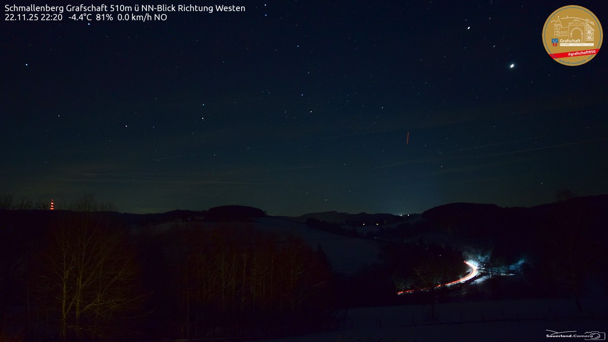
Webcam: Usseln – Count Stollberg Hut
View another image ↗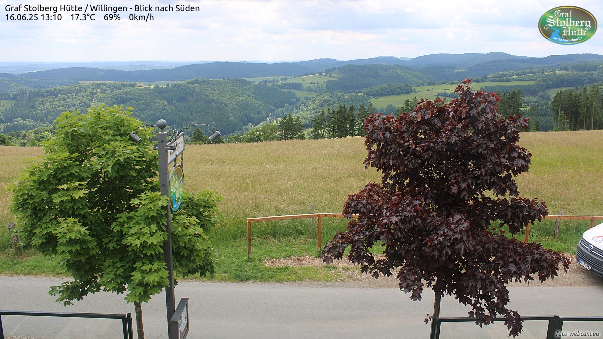
Webcam: Panorama from the Hochheideturm Willingen - 875m
View another image ↗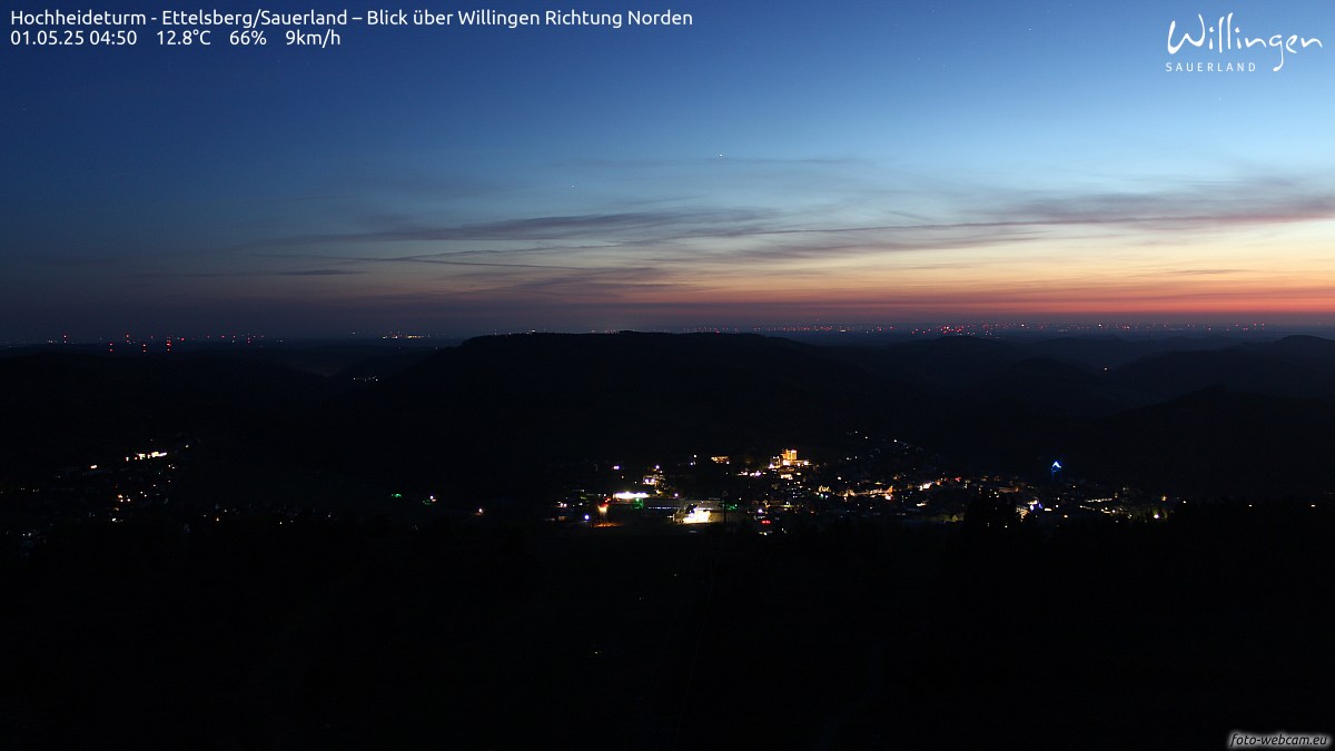
Webcam: Hallenberg - Bollerbergturm
View another image ↗
Webcam: Sichtsberg Hohe-Bracht - Homerblick
View another image ↗
That could interest you too!
Homes Willingen / Sauerland
Info Sauerland-Card Kurkarte im Sauerland

Willingen & Diemelsee All information
Sauerland holiday region All information
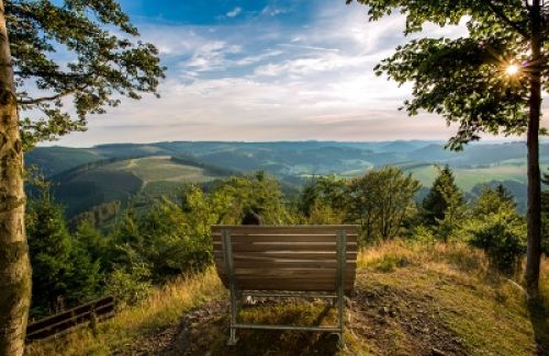
Our holiday tips hiking bike car tour

Hiking in the Upland & Nature Park Diemelsee
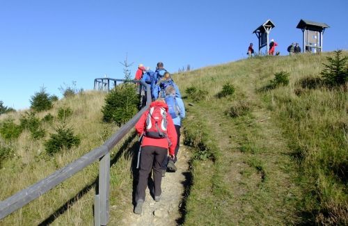
Our gastronomy tips in Willingen
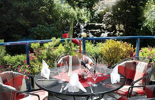
National Park Kellerwald at Lake Edersee
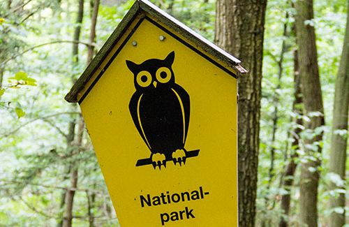
Forest sculpture trail on Rothaarsteig
Open on the original website ↗
Redhead's Trail - Way of the Senses
Open on the original website ↗
Hike to the High Heath
Open on the original website ↗
Hike around the Diemelsee
Open on the original website ↗
Winter hiking in Willingen/Usseln
Open on the original website ↗
Hiking in the Sauerland
Open on the original website ↗
800 summit hike in the Rothaar Mountains
Open on the original website ↗
Hike on the Hönnepfad
Open on the original website ↗
Kahler Asten-Steig (16km top hiking trail!)
Open on the original website ↗
